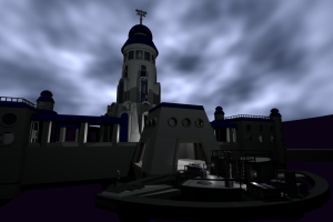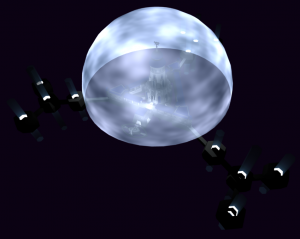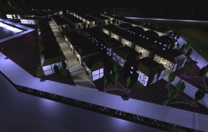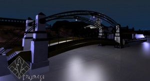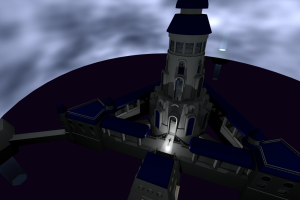
Originally made for housing military families, the Residential Block now offers the largest amount of living space in Agwilcress. The Block is located just East of the “head” and “neck” of the city’s design. You can see the Grand Pool beach, which takes up the “head”, in the upper left corner of the picture. Due to their army origin, most buildings in the Block share the same floor plan and arranged in neat rows.
Category Archives: Locations
Lucan Hill Theater
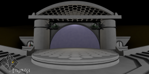
This open-air venue is built into a hill located on the inner east “wing” of Agwilcress.
The theater and surrounding hill is named after Lucan Metril, the Ayra Katrin engineer that was in charge of converting Agwilcress from a military base to the nation’s capital.
Two Prerart statues adorn the building, representing the siblings Buridamer and Kemidamer. They are famous for writing music and singing, respectively, during the Second War.
Kylal Palace Bath
(Previous picture posted here)
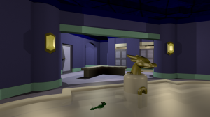
The most apparent improvement to the bath is the new faucet console, with a far more detailed brass dragon’s head. The lower jaw is designed to open and let water out. There were also four faucets on the last version, but I decided that was excessive so simplified to one. The brass opening below the faucet is the drain and also houses an automatic shut-off mechanism.
The two rooms in the back are showers, with two identical rooms to their right. The door on the left is the toilet. The arched opening behind the bench leads to an exit going out to a courtyard. The hexagonal objects attached to the walls are lights (hmm… I think they need some material work to make them appear more light-like).
Kylal Palace
Ayra Katrin Library
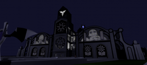
Note the significant change to the side window design, a more complex curved surface instead of a half-circle. Below those are alcoves with designs – there might be varied designs in the future instead of the same one four times. The buttresses on the sides are new as well, with a fancier curved design. The three-star at the top of the tower is now made of glass with backlighting. The circular window in the middle now has support beams running through it.
Fanciful Bridge
Tail Hill Complex
I’ve been working on the Ayra Katrin Library an awful lot, so I decided to switch work to a nearby location. Dominating the terraced hill leading up to the library is the Tail Hill Complex. It is primarily made up of the two office-type buildings up front and numerous large underground rooms that could be storehouses or workshops. There’s also an ‘underground’ courtyard. The square opening located between the sets of stairs is the top of that courtyard.
The tower between the complex and the library (it’s poorly lit in this picture) contains an elevator for transporting materials to the library (or people who want to skip all of that stair climbing). It’s accessible from ground-level through a hallway going through the underground courtyard.
The construction of the complex and the library was a bit unusual. They didn’t dig into the hill to create the underground areas, they built up the hill around them and buried them. The material for the landscape you see was shipped in from the excavations of other projects.
Eventually I need to get some different textures for the ground. The climate is supposed to be somewhat arid and there shouldn’t be lush green lawn grass growing everywhere unless they really like wasting water…
Ayra Katrin Library Update
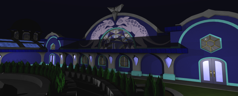
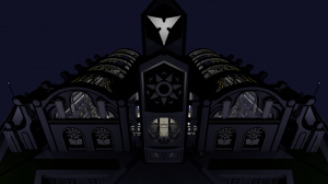
In this updated image of the front, you can see a change to the front tower face. The national Seven-Star symbol has been moved up, and beneath it is a large circular window bearing a new symbol for the Ayra Katrin. This is the “major sigil”, a more detailed design used for big things like this window.
Also new in this update are the triangular holes to the sides of the hexagon. In these openings are the residences, where many Ayra Katrin live on site. When the library was constructed, the “ground floor” was two floors below the one you see. They artificially built up the hill, essentially burying two floors.There is a commons area hidden underneath the hexagon.
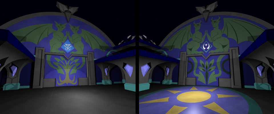
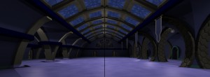
This image shows an older version of the main hall on the left, and the latest updates on the right. The biggest changes are smoother arches, some new crystal lamps, improved roof windows, and an altered stage/podium under the dragon wall sculpture.On the middle of the podium is the “minor sigil” of the Ayra Katrin. It’s kind of hard to see in this picture, but expect to see an update relating to these symbols soon.
Kylal Palace Courtyard
Sharpheart Island
This is some early work on the design of Sha Rephart’s main island, colloquially known as Sharpheart Island.
At the center is the national capital, where the council meets to make laws and discuss important issues. It is suspended in a small area of open void.
Surrounding the capital is Stark Fortress. It is the nation’s military headquarters and the last point of defense if the city gets overrun.
The hexagons topped with light blue are the Districts, where people go for socializing, entertainment, dining, and other daily activities. The blue tops are projections which display a simulated sky on their inside surface.
Near the Districts are the main residential areas. The rows of hexagonal buildings are the apartment complexes that the majority of the people call home.
A recent expansion has been built on the southeast end. I haven’t gotten around to putting stuff in it, for now it’s just marked with a darker blue hexagon. It might eventually contain an extra District that has a night theme.
The two hexagons on the west and east sides are the city docks. The west dock is primarily for military use, as it faces the Poison Pool island, source of Sha Rephart’s enemy called the Hessai.
The area between the Gaps (the four wing-like openings to the west and east) are the industrial sectors. (Haven’t gotten around to putting buildings in there, yet.)
At the bottom of the picture is the city beach. The circular structure on the right is Fountain Park. At the top left is a pyramid-shaped structure that’s yet to be fleshed out.
This is the obverse side of the island. The reverse side of the island is dominated by farmland.